


Home » Course Layouts » Free Course Layout Udemy
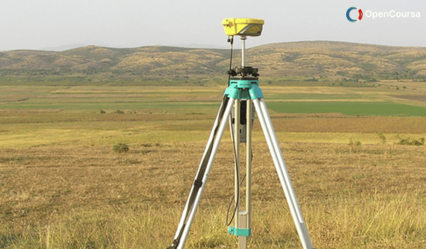
Modern Surveying Techniques. Instructor: Prof. S. K. Ghosh, Department of Civil Engineering, IIT Roorkee.
0
English
English [CC]
- Learn basic syntax that can apply to any language.
- Learn what is a programming language and the basic concepts for beginners.
- Understand what is Javascript in it's truest form.
- Know the basic syntax of Javascript.
- Know some hidden quirks in Javascript.
Description
The use of aerial photography and remote sensing has made it possible to map large areas with greater accuracy for producing thematic maps of large areas, for resource exploitation and management. Handling of large volumes of data for quantitative spatial variation of data requires appropriate tools to process the spatial data using statistical methods and time series analysis. With the introduction of computer assisted cartography, many new tools were developed to perform spatial analysis of the data and to produce maps in desired formats. These operations required a powerful set of tools for collecting, storing, retrieving, transforming, and displaying spatial data from the real world for a particular set of purposes. This set of tools constitutes a Geographic Information System (GIS). (from nptel.ac.in)
Course content
- Lecture 01 – Geographic Information System: An Introduction Unlimited
- Lecture 02 – Introduction to Global Positioning System Unlimited
- Lecture 03 – GPS Positioning Methods Unlimited
- Lecture 04 – GPS Solutions and Errors Unlimited
- Lecture 05 – GPS Application Unlimited
- Lecture 06 – Remote Sensing: An Introduction Unlimited
- Lecture 07 – Electromagnetic Spectrum Unlimited
- Lecture 08 – Sensors and Platform Unlimited
- Lecture 09 – Sensors and Platform (cont.) Unlimited
- Lecture 10 – Image Interpretation Unlimited
- Lecture 11 – Statistical Evaluation of RS Data Unlimited
- Lecture 12 – Rectification and Restoration Unlimited
- Lecture 13 – Image Enhancement Unlimited
- Lecture 14 – Image Transformation Unlimited
- Lecture 14b – Orthogonal Transformation Unlimited
- Lecture 15 – Image Classification (Supervised Classification) Unlimited
- Lecture 16 – Image Classification (Unsupervised Classification) Unlimited
- Lecture 17 – Spatial Filtering – Noise Removal Unlimited
- Lecture 18 – Spatial Filtering – Edge Removal Unlimited
- Lecture 19 – Photogramatic – Basic Concepts of a Single Photography Unlimited
- Lecture 20 – Stereoscopy – Basic Concepts Unlimited
- Lecture 21 – Stereoscopy – Geometry of Overlapping Photography Unlimited
- Lecture 22 – Terrestrial Photogrammetry Unlimited
- Lecture 23 – Digital Elevation Model – Basic Concepts Unlimited
- Lecture 24 – Digital Elevation Model – Data Input and Stamping Unlimited
- Lecture 25 – Digital Elevation Model – Surface Representation and Analysis Unlimited
- Lecture 26 – GIS – Introductory Concepts Unlimited
- Lecture 27 – GIS – Data Input Unlimited
- Lecture 28 – Data Verification and Editing Unlimited
- Lecture 29 – GIS Data Model Unlimited
- Lecture 30 – GIS Database Unlimited
- Lecture 31 – Spatial Analysis Unlimited
- Lecture 32 – Map Overlay and Spatial Correlation Unlimited
- Lecture 33 – Application to Drought Management Unlimited
- Lecture 34 – GIS Based Planning Model for Educational Facilities in Rural Areas Unlimited
- Lecture 35 – Application Extraction of Building Attributes Unlimited
- Lecture 36 – Zonal Based Tourism Planning Unlimited
- Lecture 37 – Zonal Planning using Remote Sensing Unlimited
- Lecture 38 – Municipal GIS for Assessment of Property Tax Unlimited
- Lecture 39 – Application of Remote Sensing Unlimited
N.A
- 5 stars0
- 4 stars0
- 3 stars0
- 2 stars0
- 1 stars0
No Reviews found for this course.